Menlo Park Neighborhoods For Schools, Parks And Commutes
May 14, 2026
May 14, 2026
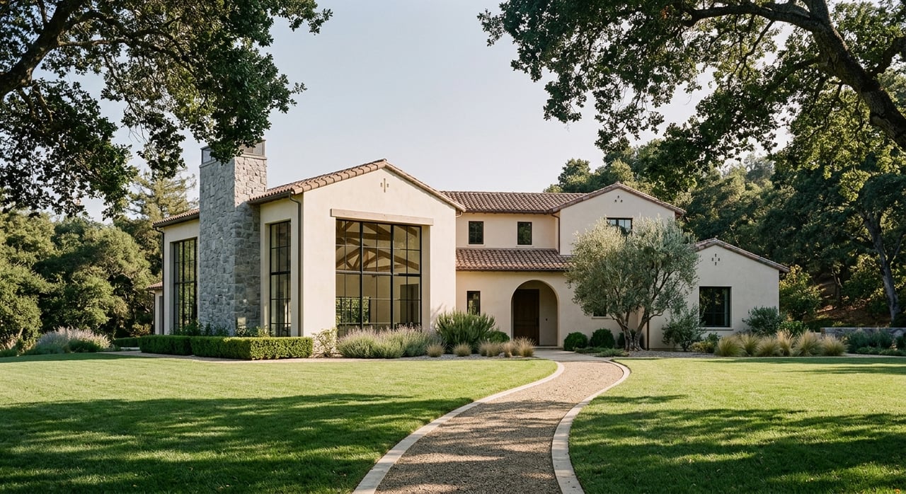
If you are moving up in Menlo Park, the right neighborhood can shape your whole week. School drop-offs, park time, errands, and commute routes all feel different depending on where you land. The good news is that Menlo Park offers several distinct patterns for daily life, and once you know what to compare, your search gets much clearer. Let’s dive in.
For many upsizing buyers, Menlo Park splits into two broad choices. On the east and central side, areas near downtown tend to offer more walkability and easier Caltrain access. On the west and southwest side, buyers often focus more on lot size, school district, and driving routes.
That difference matters because a beautiful home is only part of the decision. Your daily routine also includes how you get to school, how close you are to parks, and whether your commute works best by train, bike, or car. In Menlo Park, those tradeoffs can change sharply from one neighborhood to the next.
The city’s Safe Routes to School program and Walk and Roll maps are especially useful here. They help you compare bicycle lanes, walking paths, transit routes, traffic signals, and school locations in one place, which is practical when you are evaluating a real move instead of just browsing listings.
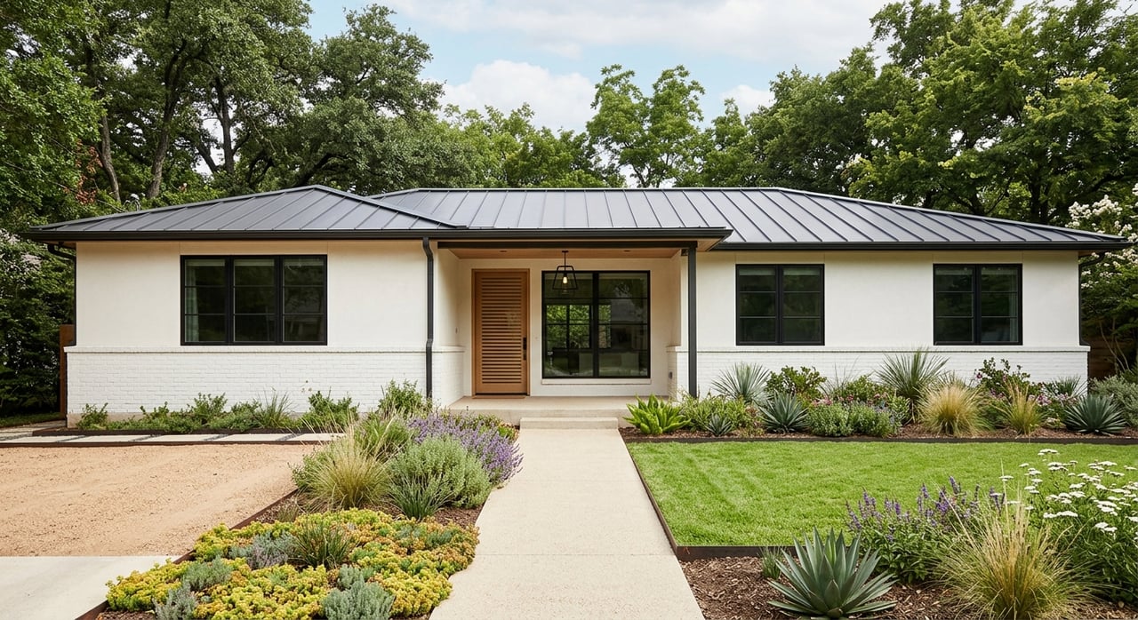
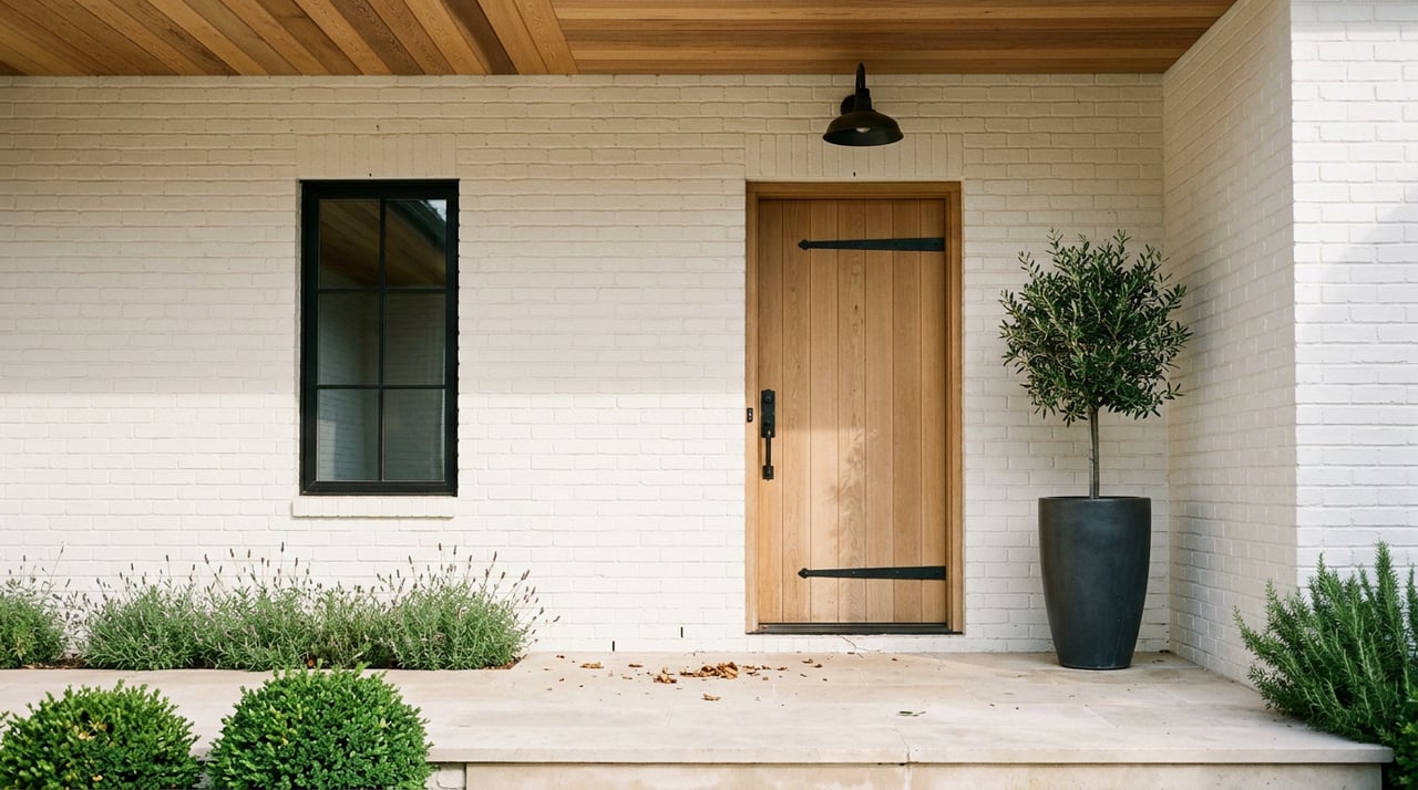
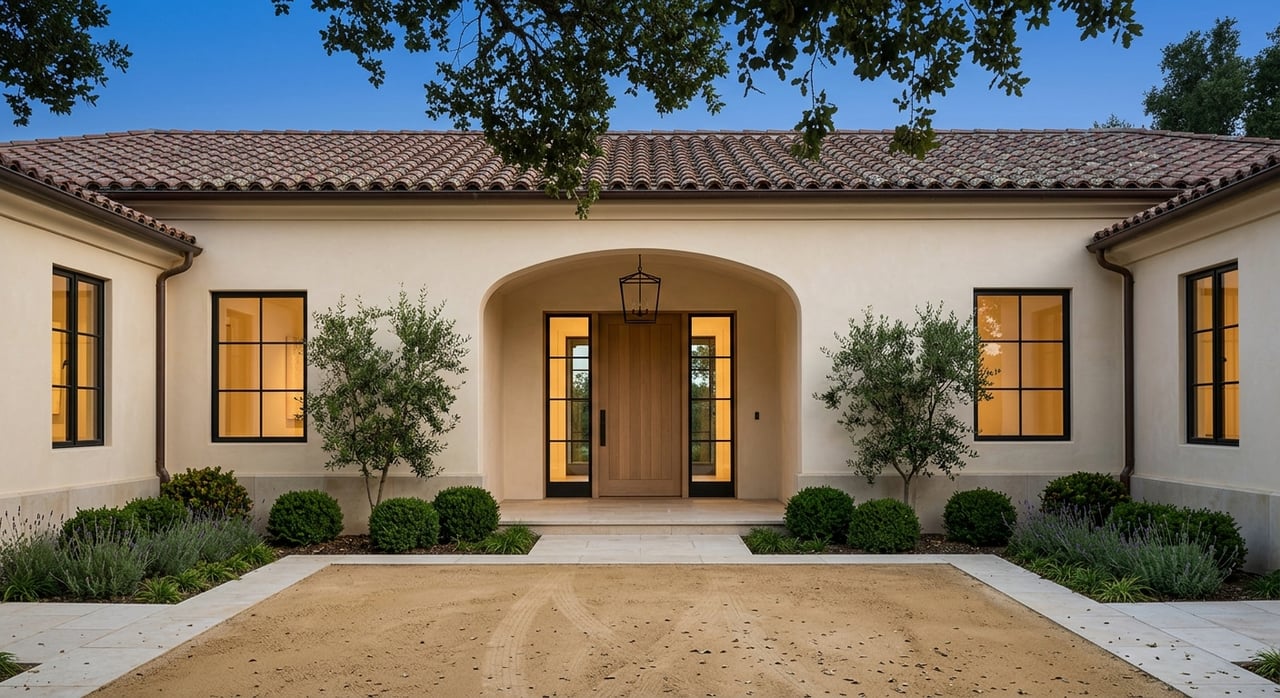
Allied Arts and Stanford Park appeal to buyers who want a more walkable daily rhythm. The city describes this area as having excellent walkability and interconnectivity, with consistent sidewalks and curbs on most streets. Mature trees, a classic street grid, and older homes give the neighborhood an established feel.
One of the biggest advantages is proximity to Downtown Menlo Park. The city describes downtown as a walkable district with dining, shopping, and a nearby park, and it is within walking distance of the Menlo Park Caltrain station. If your routine includes train commuting or walking into town, this is one of the most practical parts of Menlo Park to consider.
Park access is stronger just outside the neighborhood than inside it. Nealon Park and Jack W. Lyle Park sit just west of Allied Arts and Stanford Park, which gives nearby residents useful recreation options without requiring a long drive.
For school planning, this area is in Menlo Park City School District. MPCSD uses an address-based School Locator, and the district approved internal boundary changes in January 2024, including moving the downtown corridor and Middle Plaza to Oak Knoll rather than Encinal for new families. That makes address-level verification especially important here.
If you want a neighborhood where walking is part of everyday life, Allied Arts and Stanford Park stand out. You may find it easier to combine school trips, downtown errands, and commuting into a more compact routine. For many buyers, that train-and-town feel is the main draw.
West Menlo offers a different kind of appeal. The city describes it as tree-lined and more car-oriented, with rural sidewalk treatments, inconsistent sidewalks, and limited connectivity caused by cul-de-sacs. In practice, that often means your day depends more on your exact street and how comfortable you are driving or biking for regular trips.
Transit access is also more limited than in the downtown-adjacent neighborhoods. The city notes that Santa Cruz Avenue is better served by public transit, while Valparaiso Avenue and Middle Avenue have more limited service. This can matter if you are trying to balance school schedules with work travel or shared household logistics.
Another key point is park access. The city says West Menlo has no public open spaces inside the neighborhood, and Jack W. Lyle Park sits outside the northwest end. That does not make the area less appealing, but it does mean park time may take more planning.
For schools, West Menlo sits on Menlo Park’s west-side geography, so buyers should verify elementary assignment by specific address rather than assuming a school based on neighborhood reputation. The district locator is the most reliable place to start.
West Menlo can work well if you value a quieter residential environment and do not mind a more route-dependent lifestyle. Compared with Allied Arts, the difference is not just the housing pattern. It is the full rhythm of how you get around each day.
Suburban Park is often a strong match for buyers who want a traditional neighborhood feel with clear park access. The city describes the area as pleasant and tree-lined, with generally consistent sidewalks and a focal park presence at Flood Park. The housing pattern is almost entirely detached single-family homes.
Flood Park is the standout amenity here. According to city materials, it offers public softball, tennis, and volleyball facilities, along with reservable picnic areas and baseball fields. If regular outdoor time is high on your list, that kind of nearby recreation can be a major plus.
From a commuting perspective, Bay Road is the main exit route, and the Bayshore Freeway closes off the north side. The city also notes that most homes are within a half-mile of a bus stop. For many buyers, this makes Suburban Park feel more freeway-oriented than rail-oriented.
There is also a practical errand note to keep in mind. The city says grocery access inside Menlo Park is limited here, with many nearby grocery options located in other jurisdictions. That may not be a deal-breaker, but it is the kind of detail that shapes your weekly routine.
For schools, Suburban Park is part of the address-based Menlo Park City School District system today. As with other MPCSD neighborhoods, the School Locator remains the right starting point for confirmation.
If your ideal setup includes detached homes, a neighborhood feel, and easy access to a major park, Suburban Park deserves a close look. It tends to work well for buyers who want a family-friendly routine with straightforward driving access.
Sharon Heights sits at Menlo Park’s southwestern end and offers one of the most distinct lifestyles in this comparison. The city describes it as a mid-20th-century neighborhood with a mix of detached single-family homes and medium-density apartments, with Sand Hill Road and Alameda de las Pulgas serving as key connectors.
Walkability is more limited here than in the other neighborhoods covered above. The city says public transportation is limited, most streets do not have accessible sidewalks, and there are no bicycle lanes. For many households, that means driving is a central part of daily life.
At the same time, park access is better than the walkability profile might suggest. Sharon Park is located in the neighborhood, and the city describes it as a wooded, lakefront park near I-280 and Sand Hill Road. That gives the area a strong outdoor amenity even though the broader street network is less walkable.
School zoning is one reason some buyers focus on Sharon Heights. Official Las Lomitas Elementary School District materials identify western Menlo Park, including Sharon Heights, as part of the district. LLESD operates Las Lomitas for TK through 3 and La Entrada for grades 4 through 8, while high school assignment is handled by home address through Sequoia Union High School District.
Sharon Heights may be a strong fit if your priorities center on west-side location, school district, and a quieter setting rather than walkability. For buyers who value privacy and are comfortable with a car-based routine, it offers a very different experience from downtown-adjacent Menlo Park.
School planning in Menlo Park starts with district geography, but it should always end with address verification. Menlo Park City School District includes Encinal, Laurel, Oak Knoll, and Hillview, and the district states that assignment is address-based and can also be affected by space availability. Listing language should never replace district confirmation.
Las Lomitas Elementary School District is smaller and simpler in structure. It has two schools, Las Lomitas and La Entrada, which can make the west-side school picture more straightforward once you confirm the address. Even so, boundary verification still matters before you rely on any assumption.
For high school, Sequoia Union High School District serves Menlo Park-area families and assigns students by home address. Menlo-Atherton High School is a common public high school reference point for many Menlo Park buyers, but your best next step is still address-level confirmation.
If rail access matters, Allied Arts and the downtown area have the clearest advantage in this group. Menlo Park’s Caltrain station is in zone 3, and Caltrain describes it as a historic downtown stop on Merrill Street across from Santa Cruz Avenue. That location makes the surrounding central neighborhoods the most train-friendly choice in this comparison.
For driving, Suburban Park and Sharon Heights tend to feel more route-based. Bay Road is important for Suburban Park, while Sand Hill Road and Alameda de las Pulgas are key connectors for Sharon Heights. West Menlo also falls into this route-dependent category because of lower connectivity and more limited sidewalk consistency.
The city’s Safe Routes mapping is especially helpful if school commuting is part of your search. The maps layer bicycle lanes, walking paths, SamTrans routes, traffic signals, schools, and the Peninsula Bikeway, giving you a more realistic picture of what a weekday could look like.
If you are deciding between these neighborhoods, start with the routine you want rather than the listing photos you like most. Ask yourself whether your week works best with walkability, rail access, larger-lot west-side living, or a park-centered neighborhood setup. That answer usually narrows the map quickly.
A simple summary looks like this:
In Menlo Park, neighborhood fit is often about logistics as much as lifestyle. The right choice is the one that supports how you actually live, not just how a home looks on paper.
If you want help narrowing the right Menlo Park neighborhood for your move, Michael Warren offers thoughtful, local guidance tailored to your priorities, timing, and search criteria.
Stay up to date on the latest real estate trends.

Whether it a first-time home buyer or a 10+ Million listing, Michael brings an innovative approach and earns the respect of his clients by working tirelessly on their behalf and always offering candid advice. Contact him today to discuss all your real estate needs!
Connect with Michael.
[email protected]
(650) 315-0224
License #01968537
2930 Woodside Road, Woodside, CA 94062